Browse Articles

Spider Density Shows Weak Relationship with Vegetation Density

Ryon et al. | Jul 03, 2020

Spider Density Shows Weak Relationship with Vegetation Density

Evidence supports that spiders have many ecological benefits including insect control and predation in the food chain. In this study the authors investigate that whether the percent of vegetation coverage and spider density are correlated. They determine that despite the trend there is no statistically significant correlation.

Read More...

Effects of Ocean Acidification on the Photosynthetic Ability of Chaetoceros gracilis in the Monterey Bay

Harvell et al. | Jan 16, 2020

Effects of Ocean Acidification on the Photosynthetic Ability of <i>Chaetoceros gracilis</i> in the Monterey Bay

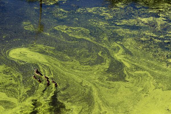
In this article, Harvell and Nicholson hypothesized that increased ocean acidity would decrease the photosynthetic ability of Chaetoceros gracilis, a diatom prolific in Monterey Bay, because of the usually corrosive effects of carbonic acid on both seashells and cells’ internal structures. They altered pH of algae environments and measured the photosynthetic ability of diatoms over four days by spectrophotometer. Overall, their findings indicate that C. gracilis may become more abundant in Monterey Bay as the pH of the ocean continues to drop, potentially contributing to harmful algal blooms.

Read More...

A model for angle evolution in conical piles formed using the fixed funnel method

Capaldi et al. | Jul 20, 2026

A model for angle evolution in conical piles formed using the fixed funnel method

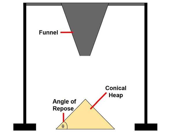
When granular materials are poured onto a surface, they form conical piles whose slopes increase before reaching a stable angle of repose. We found that this angle evolution follows a previously unrecognized two-phase exponential growth pattern that is conserved across granular materials with diverse particle properties. The parameters of this model correlate with particle friction and are influenced by deposition conditions, providing a quantitative framework for describing pile formation.

Read More...

Using satellite surface temperature data to monitor urban heat island

Meister et al. | Feb 13, 2026

Using satellite surface temperature data to monitor urban heat island
Image credit: Meister, Horvath, and Brown de Colstoun

This manuscript investigates the urban heat island (UHI) effect by utilizing two satellite datasets: Landsat (high spatial resolution, lower temporal resolution) and MODIS (lower spatial resolution, high temporal resolution). The authors hypothesized that Landsat would provide better spatial detail, while MODIS would better capture temporal variations. Their analysis in the Washington D.C.–Baltimore region supports these hypotheses, demonstrating that Landsat offers finer spatial details, whereas MODIS provides more consistent seasonal patterns and better detects heatwave frequencies.

Read More...